 |
||
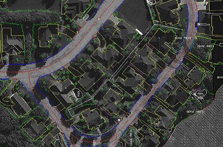
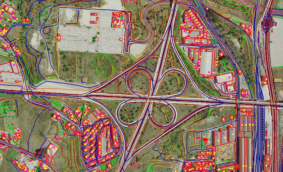
Planimetric Mapping
Planimetric mapping shows only horizontal features on a plane surface, without elevation contours to depict the terrain.
RSGS is committed to use the latest technology and software to better enhance our products and service to our clients. Our team of trained photogrammetrists, graphic QC/editing professionals have the education, technical background and experience to create a highly accurate, consistent and well organized photogrammetric product.
Layering and symbology can be customized to meet any specification or software format.
 |