 |
||
Digital Topographic Mapping
Digital Terrain Modeling
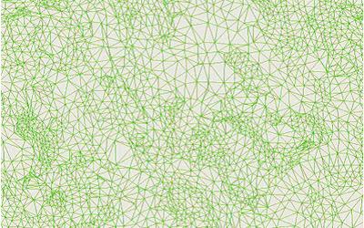
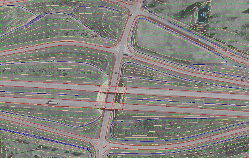
Digital Elevation Model (DEM) is the collection of mass points of elevations either manually or automatically using image correlation algorithm. As the DEM does not show the actual topology of the terrain, it needs to be supplemented with breaklines at all ridges, drains, crests, curbs, etc., to represent an accurate topology of the terrain. So, the Digital Terrain Model (DTM) file which contains masspoints and breaklines as inputs depicts an accurate topology of the terrain through TIN (Triangulated Irregular Network). The TIN/surface file can be used to generate contours that meet any mapping standards or orthophoto.
 |