 |
||
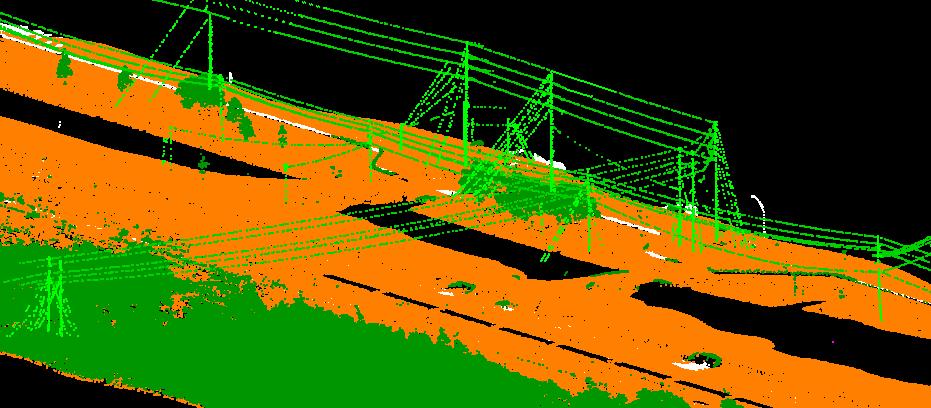
LiDAR (Light Detection And Ranging) Classification
LiDAR technology provides one of the most accurate, expedient and cost-effective ways to capture wide-area elevation information. With increased data collection rates and accuracy, LiDAR is regarded as the best mode available today.
LiDAR data contain enormous amounts of information. Buildings, trees and power lines are individually discernible features. This data is digital and is directly processed to produce detailed bare earth DEMs at vertical accuracies of 0.15 meters to 1 meter. Derived products include contour maps, slope/aspect, three-dimensional topographic images, virtual reality visualizations and more.
LiDAR data can be seamlessly integrated with other data sets, including orthophotos, multispectral, hyperspectral and panchromatic imagery. LiDAR is combined with Geographic Information System (GIS) data and other surveying information to generate complex geomorphic-structure mapping products, building renderings, advanced three dimensional modeling/earthworks and many more high quality mapping products.
 |