 |
||
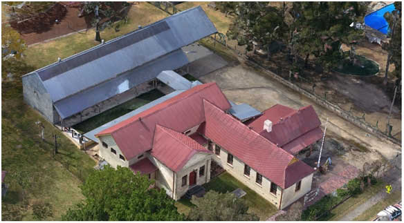
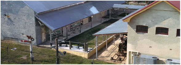
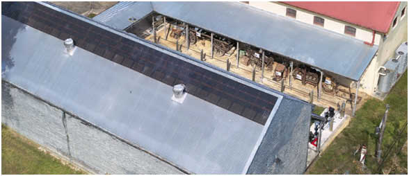
3D Reality Mesh
Aerial image acquisition from UAS/UAV/Drones (Unmanned Aerial System/Vehicle) is used for 3D reality mesh creation more economically now-a-days.
A three dimensional mesh is a 3D model of structures consisting of polygons. 3D meshes use reference points in X, Y and Z axes to define shapes with height, length and breadth. The polygons used are typically quadrangles or triangles; these geometric shapes can be further broken down into vertices in X,Y,Z coordinates and lines.
Most 3D meshes are created by artists using suitable software packages. When models are created for animation, they require especially careful construction; odd deformations can result unless polygons are carefully laid for continuous edge loops (a system connecting all edges) around areas that will be moved.
3D modeling can sometimes be a smooth process by automated process. However, often involves systematic and laborious editing of polygons. 3D reality mesh capture is a new process, that creates accurate 3D models from point clouds, collections of 3D coordinates that define the shape of a physical system.
 |
 |
 |